News
CEI Surveyors attend Drone Training Class
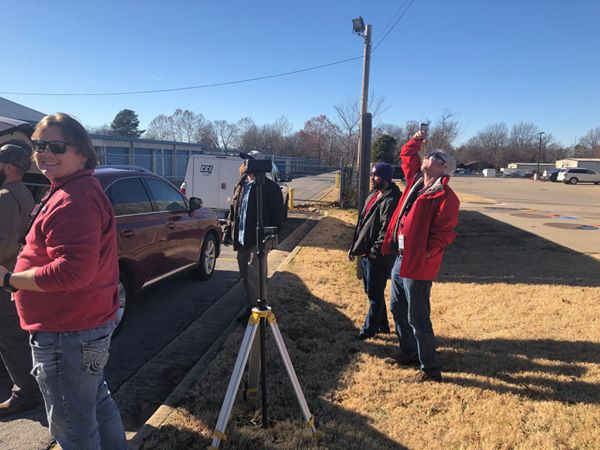
CEI’s Survey team took part in drone training in early January 2019. Drones are fast becoming the wave of the future in the surveying field for mapping, GIS, and aerial photography. Drones help to reduce the time it takes to collect data and allows surveyors to view real-time spatial data. CEI is always interested in learning new technology that improves our work and helps to make us a leader in our field.